

Imray Y Charts - Flat
Imray Marine Y Charts covering the Irish Sea, North Sea, English Channel and Bay of Biscay.
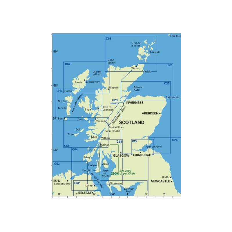
For larger maps click on the images, then record the number of the Y chart required. Select your required charts from the chart drop down at the top right of this page to order.
Imray Y Charts are smaller sized sheets which provide large-scale coverage of rivers and estuaries which cannot be shown in detail on C charts. Size 25" x 35½" but * is 640 x 450 mm (25" x 17"). Flat.
List of Imray Y Charts
- Y9 The Wash Plans Kings Lynn, Wells-next-the-Sea, Brancaster, Blakeney, Boston 1:89,740
- Y16 Walton Backwaters to Ipswich and Woodbridge Plans Fox's Marina (Ipswich), Shotley Point Marina, Suffolk Yacht Harbour, Woolverstone Marina, Titchmarsh Marina, Woodbridge 1:35,000
- Y17 The River Colne to Blackwater and Crouch Plans Colchester, Brightlingsea, Bradwell Marina, Tollesbury Yacht Harbour, River Roach to Havengore 1:49,000*
- Y18 River Medway Sheerness to Rochester with River Thames, Sea Reach 1:20,000 WGS 84
- Y23 Poole Harbour Plans Salterns Marina Complex, Holes Bay 1:17,000 WGS 84
- Y33 Langstone and Chichester Harbours Plans Northney Marina, Emsworth Yacht Harbour, Chichester Yacht Basin & Birdham Pool 1:21,500
- Y58 River Fal Falmouth to Truro Plans Falmouth Yacht Marina, Falmouth Inner Harbour 1:20,000 WGS 84
- Y70 Isle of Man Plans Douglas, Port Erin, Peel, Ramsey, Calf Sound, Bay Ny Carricky & Castletown Bay 1:85,150
Unavailable
