


Imray Digital Charts
Imray Digital Charts are designed for simplicity of use and combine the full range of electronic navigation functions whilst retaining the clarity and familiarity of Imray charts.
The selection of charts for each option offers convenient coverage of well-defined cruising areas.
Waypoints are easily entered and can be stored in a database for use on overlapping Imray Digital Charts.
Route creation is just as easy and details of courses and bearings are clearly displayed.
Alarms can be employed to alert the skipper at crucial points and the software will interface with SeaTides tidal prediction software from Meridian chartware.
ID10 North Sea - South and East
This Digital Chart covers the following chart areas: C1,C2, C8, C23, C24, C25, C26, C27, C28, C29,C30, C68, Y9, Y16, Y17, Y18, 2000.3, 2000.6, 2000.7, 2100.2, 2100.4, 2100.6
ID20 English Channel
This digital chart covers the following chart areas: C1, C3, C4, C5, C6, C7, C8, C9, C10, C12, C15, C31, C32, C33A, C33B, C34, C35, C36, Y23, 2200.4, 2200.5, 2400.6, 2400.11, 2400.12, 2400.13
ID30 West Coast of Britain and Ireland
This digital chart covers the following chart areas: C6, C7, C51, C52, C53, C54, C55, C56, C57, C58, C59, C60, C61, C62, C63, C64, C65, C66, C67, C68, C69, C180, Y70, 2400.6, 2400.11, 2400.12, 2400.13, 2800.2, 2800.3, 2800.4, 2800.5, 2800.6, 2800.7, 2900.2, 2900.3, 2900.4, 2900.5
ID40 Atlantic France and Iberia
This digital chart covers the following chart areas: C6, C7, C18, C19, C35, C36, C37, C38, C39, C40, C41, C42, C48, C49, C50, 2400.6, 2400.11, 2400.12, 2400.13
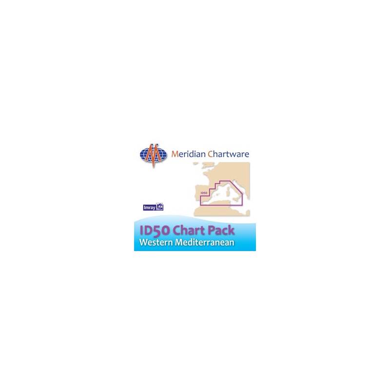
ID50 Western Mediterranean
This digital chart includes the following charts: M3, M6, M8, M9, M10, M11, M12, M13, M14, M15, M16, M17, M18, M19, M31, M40, M45, M46, M47, M50
ID60 Central Mediterranean - The Adriatic and Ionian Seas
This digital chart pack includes the following charts: M10, M20, M23, M24, M25, M26, M27, M29, M30, M32, M33, M34, M50, G1, G11, G12, G121, G13, G15, G16
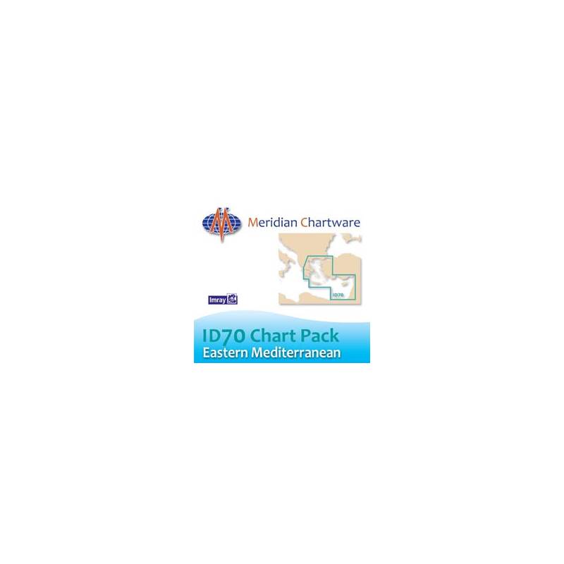
ID70 The Eastern Mediterranean and Aegean Seas
This digital chart includes the following charts: M20, G13, G14, G141, G15, G2, G25, G26, G27, G28, G3, G31, G32, G33, G34, G35, G36, G37, G38, G39, G40, M21, M22
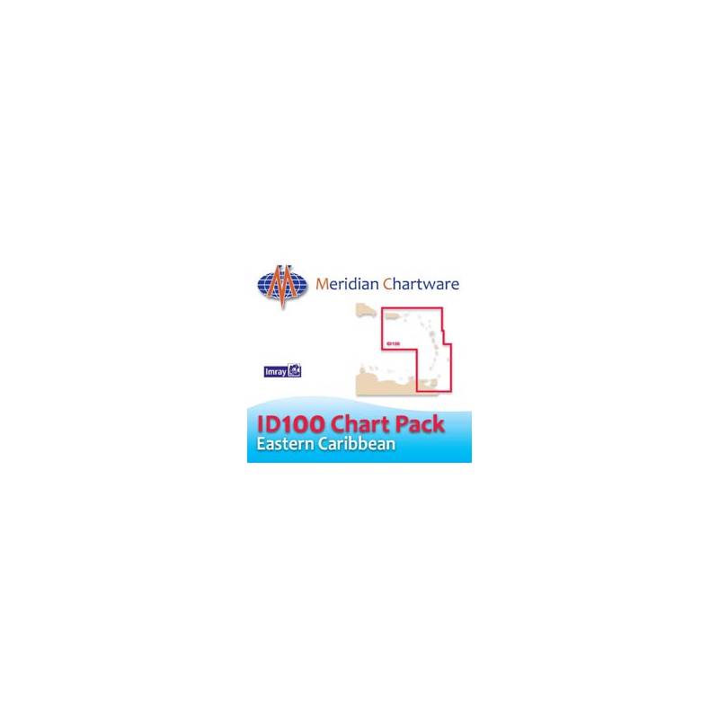
ID100 Eastern Caribbean
The ID100 folio covers the Virgin, Leeward and Windward Islands, plus Barbados and Tobago. Charts included are: A, A2, A23, A231, A232, A3, A4, A24, A25, A26, A27, A271, A28, A281, A29, A30, A301, B, B1, B2, B3, B30, B31, B311, B32, B4, B5, B6
Unavailable