For users who cover larger areas, the Region Series is ideal. The map scale is 1:50K, giving a good amount of information on a regional basis. Great Britain has been divided up in to 10 Regions, each giving an average area of over 20,000 sq km.
Maps contained: Digital Ordnance Survey 1:50,000 Landranger
Format: SD Card only
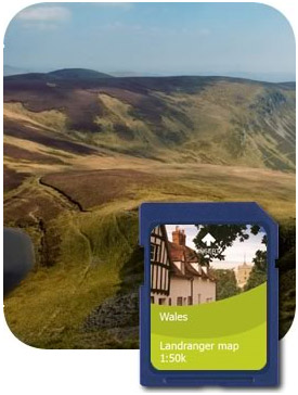 |
Wales Covering the Counties of Pembrokeshire, Carmarthenshire, South Wales, Monmouthshire, Powys, Gwynedd, Anglesey, Conwy and Denbighshire. |
|
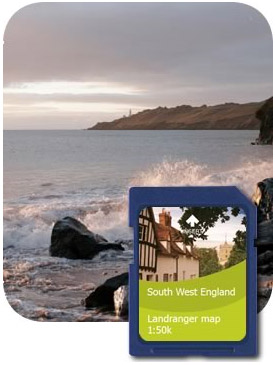 |
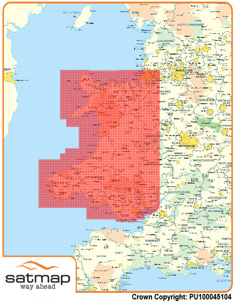
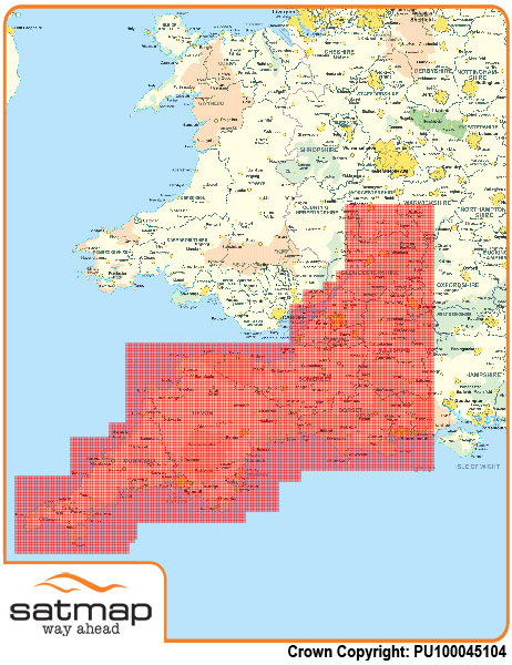
South West England Covering the Counties of Cornwall, Devon, Somerset, Dorset, Wiltshire and Gloucestershire. |
|
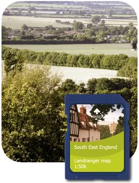 |
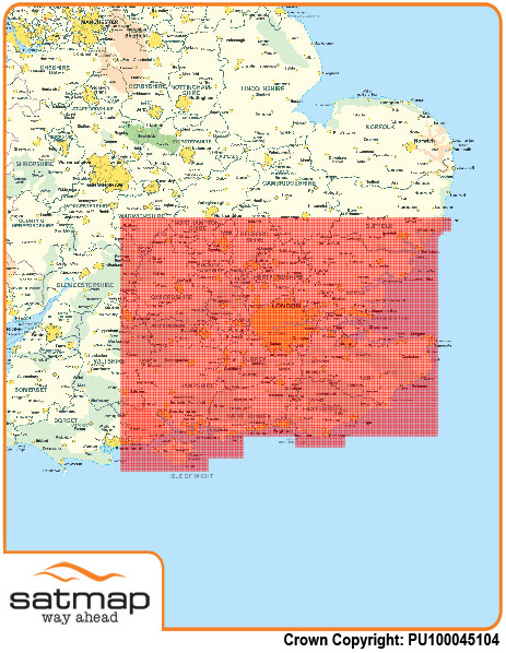
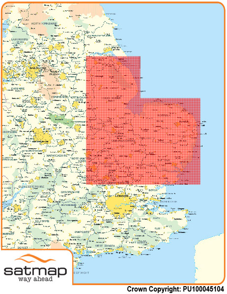
South East England Covering the Counties of Hampshire, West Sussex, East Sussex, Kent, Surrey, Berkshire, Oxfordshire, Buckinghamshire, Hertfordshire, Essex, Greater London. |
|
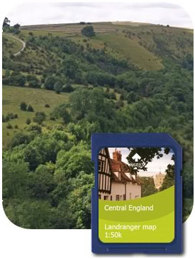 |
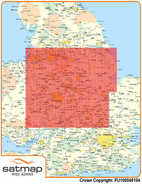
Central England Covering the Counties of Herefordshire, Worcestershire, Warwickshire, Northamptonshire, Bedfordshire, Shropshire, Staffordshire, Leicestershire, Rutland, Lincolnshire, Cheshire, Derbyshire, Nottinghamshire, Liverpool, Manchester and South Yorkshire. |
|
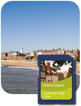 |
Eastern England Covering the Counties of Bedfordshire, Cambridgeshire, Suffolk, Rutland, Norfolk and Lincolnshire. |
|
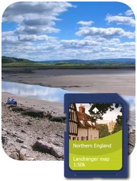 |
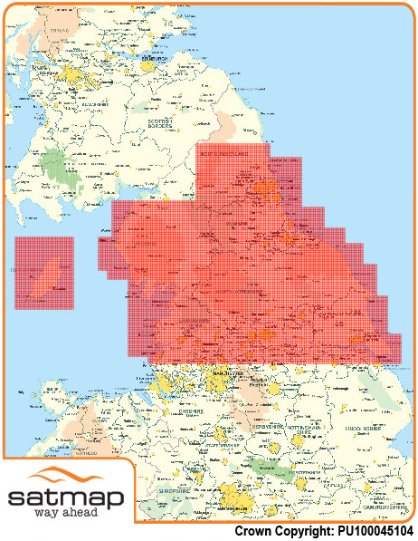
Northern England Covering the Counties of Lancashire, North Yorkshire, Cumbria, Durham, Southern Northumberland, Isle of Man, Leeds and East Riding. |
|
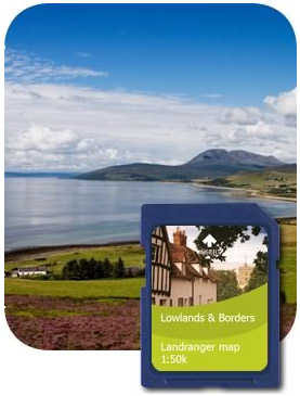 |
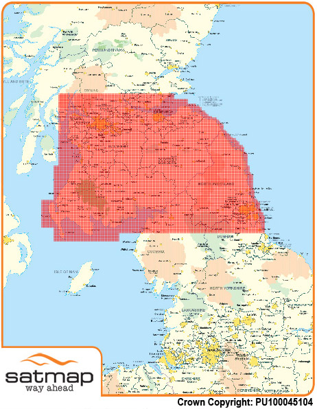
Lowlands & Borders Covering the Counties of Northumberland, Sunderland, Newcastle, Dumfries and Galloway, Ayrshire, Lanarkshire, Glasgow, Lothian, Borders, Edinburgh. |
|
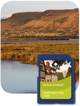 |
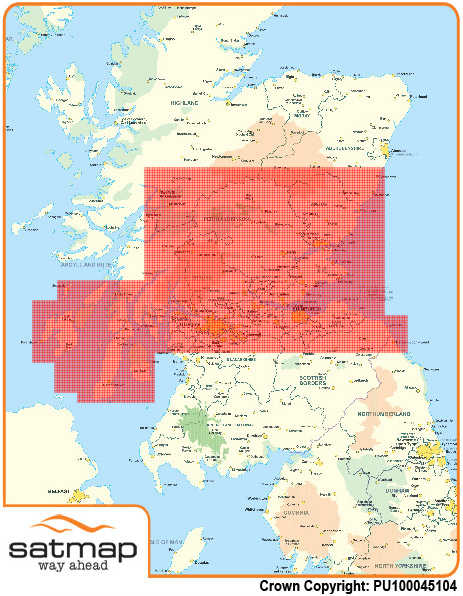
Central Scotland Covering the Counties of Lothian, Edinburgh, Glasgow, Fife, Angus, Perth & Kinross and Stirling. |
|
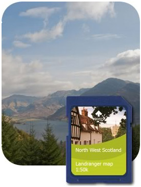 |
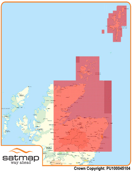
North West Scotland Covering the Counties of West Highlands and Islands. |
|
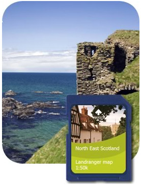 |
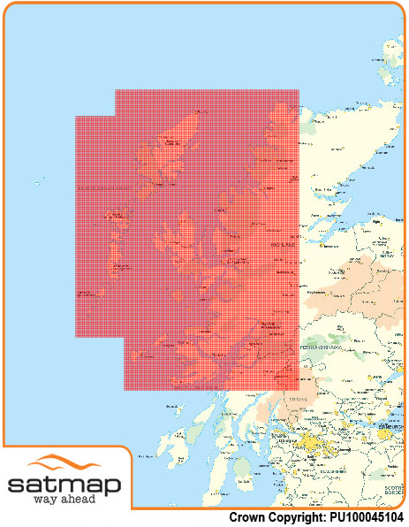
North East Scotland Covering the Counties of East Highlands, Moray, Aberdeenshire and Orkney. |
For users who cover larger areas, the Region Series is ideal. The map scale is 1:50K, giving a good amount of information on a regional basis. Great Britain has been divided up in to 10 Regions, each giving an average area of over 20,000 sq km.
Maps contained: Digital Ordnance Survey 1:50,000 Landranger
Format: SD Card only
|
Wales Covering the Counties of Pembrokeshire, Carmarthenshire, South Wales, Monmouthshire, Powys, Gwynedd, Anglesey, Conwy and Denbighshire. |
|
|
South West England Covering the Counties of Cornwall, Devon, Somerset, Dorset, Wiltshire and Gloucestershire. |
|
|
South East England Covering the Counties of Hampshire, West Sussex, East Sussex, Kent, Surrey, Berkshire, Oxfordshire, Buckinghamshire, Hertfordshire, Essex, Greater London. |
|
|
Central England Covering the Counties of Herefordshire, Worcestershire, Warwickshire, Northamptonshire, Bedfordshire, Shropshire, Staffordshire, Leicestershire, Rutland, Lincolnshire, Cheshire, Derbyshire, Nottinghamshire, Liverpool, Manchester and South Yorkshire. |
|
|
Eastern England Covering the Counties of Bedfordshire, Cambridgeshire, Suffolk, Rutland, Norfolk and Lincolnshire. |
|
|
Northern England Covering the Counties of Lancashire, North Yorkshire, Cumbria, Durham, Southern Northumberland, Isle of Man, Leeds and East Riding. |
|
|
Lowlands & Borders Covering the Counties of Northumberland, Sunderland, Newcastle, Dumfries and Galloway, Ayrshire, Lanarkshire, Glasgow, Lothian, Borders, Edinburgh. |
|
|
Central Scotland Covering the Counties of Lothian, Edinburgh, Glasgow, Fife, Angus, Perth & Kinross and Stirling. |
|
|
North West Scotland Covering the Counties of West Highlands and Islands. |
|
|
North East Scotland Covering the Counties of East Highlands, Moray, Aberdeenshire and Orkney. |