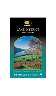
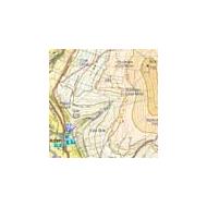
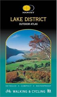
Maps of the whole of a National Park in one handy book.
Waterproof for outdoor use.
Detailed mapping. Ideal for walkers, cyclists, or to keep on the bookshelf or in the glove box of the car for general reference.
Good overlap between pages in both directions. Several pages of introduction to the Park, including useful telephone numbers, tourist information centres etc.
New concept in outdoor mapping: the whole of the Lake District National Park in one handy book. Spiral bound to lie flat in the hand. Waterproof for outdoor use. Detailed mapping. Shows public footpaths and bridleways. Can be used with GPS
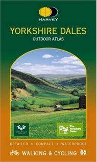
The whole of the Dales in one handy book. Spiral bound to lie flat in the hand. Waterproof for outdoor use. Detailed mapping. Shows public footpaths and bridleways. Can be used with GPS
Maps of the whole of a National Park in one handy book.
Waterproof for outdoor use.
Detailed mapping. Ideal for walkers, cyclists, or to keep on the bookshelf or in the glove box of the car for general reference.
Good overlap between pages in both directions. Several pages of introduction to the Park, including useful telephone numbers, tourist information centres etc.
New concept in outdoor mapping: the whole of the Lake District National Park in one handy book. Spiral bound to lie flat in the hand. Waterproof for outdoor use. Detailed mapping. Shows public footpaths and bridleways. Can be used with GPS
The whole of the Dales in one handy book. Spiral bound to lie flat in the hand. Waterproof for outdoor use. Detailed mapping. Shows public footpaths and bridleways. Can be used with GPS

